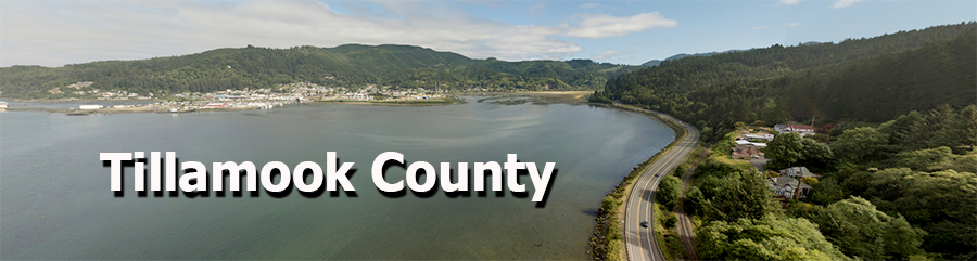
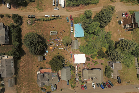
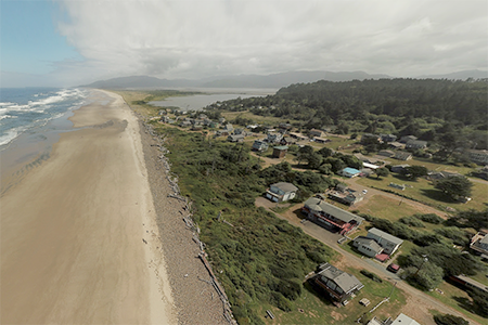
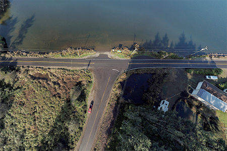
Below are Google Earth VR360 images taken in Tillamook County. Before you click on any of the images, you will need to install the Google Earth app on your phone or your computer to see the final VR360 image. If you do not want to install the app, you can select the GPS data below the image and paste it into the search box in Google maps, or the web-based Google Earth program. If you are using a phone, you might consider rotating to the horizonal position for a different perspective. Enjoy. |
|
 |
 |
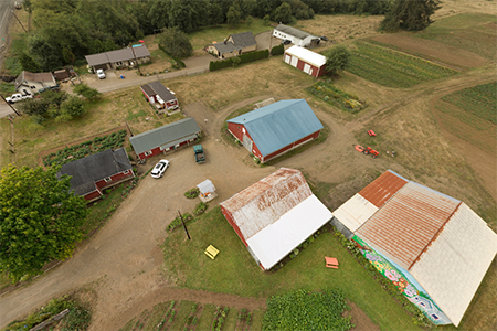
45.372926,-123.804856 |
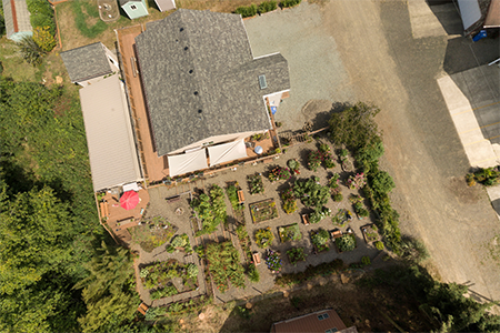
45.501165,-123.954864 |
 |
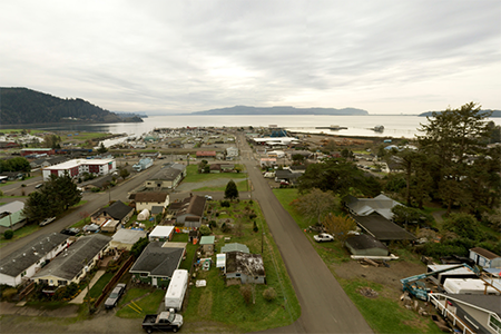 |
45.502007,-123.954908 |
45.561053,-123.914717 |
 |
 |
45.520077,-123.94748 |
45.43359,-123.855032 |
 |
 |
45.438365,-123.876162 |
45.501203,-123.955055 |
 |
 |
45.547902,-123.906048 |
45.557003,-123.911388 |
 |
 |
45.449017,-123.837338 |
45.458402,-123.842608 |
 |
 |
45.455185,-123.836597 |
45.481282,-123.84524 |
 |
 |
45.45457,-123.824012 |
45.4529,-123.846293 |
 |
 |
45.454708,-123.855453 |
45.471597,-123.891363 |
 |
 |
45.455975,-123.812558 |
45.414218,-123.934287 |
 |
 |
45.457865,-123.794492 |
45.454235,-123.858448 |
 |
 |
45.458923,-123.844905 |
45.50013,-123.95577 |
 |
 |
45.501762,-123.957067 |
45.502745,-123.955665 |
 |
 |
45.502997,-123.95869 |
45.536095,-123.948842 |
 |
 |
45.532393,-123.94935 |
45.476635,-123.81224 |
 |
 |
45.517487,-123.850198 |
45.493628,-123.967077 |
 |
 |
45.498706,-123.959077 |
45.498336,-123.961712 |
 |
 |
45.505342,-123.946838 |
45.504168,-123.94828 |